The Map Department at the Austrian National Library is one of the leading institutions of its kind in the world and an El Dorado for researchers, students and anyone interested in geography or simply suffering from wanderlust.
It consists of about 300,000 sheet maps, 45,000 topographic views, around 800,000 picture postcards, more than 820 globes, 100 geographical reliefs and models of castles and about 85,000 volumes of specialist literature and atlases.
History
- 16th century: The Viennese Court Library was already collecting maps, atlases and books about geography.
- 18th century: The map collection of Baron Philipp von Stosch, consisting of 324 volumes, and the library of Prince Eugene of Savoy, which included valuable cartographic material, were important additions to the collection.
- 1906: Founding of the predecessor to today's Map Department, a special geography collection which brought together most of the geographical material from the Court Library. This was a time not only of targeted acquisitions but also of scientific study of the items.
- After the end of the First World War, the collection took over the extensive cartographic holdings of the former Habsburg Familien-Fideikommission, the Albertina Collection of Prints and Drawings and the Institute of Military Geography.
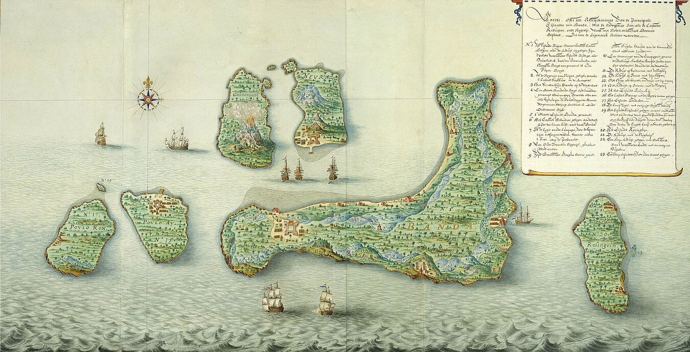
- In the inter-war years, the planned expansion of the collection of topographic views (“Vues” Collection) began, extending the range of items collected to include those from map-related and topographical imagery sources.
- 1956: Opening of the Globe Museum, at that time still in the same premises as the Map Department.
- 2005: Opening of the new Globe Museum on the piano noble of the Palais Mollard.
- 2009: The Map Department was restructured to ensure compliance with the latest standards for conservation and ease of use.